- Home
- service
- Survey services
- Maps Digitization and Raster-to-Vector Conversion
Maps Digitization and Raster-to-Vector Conversion
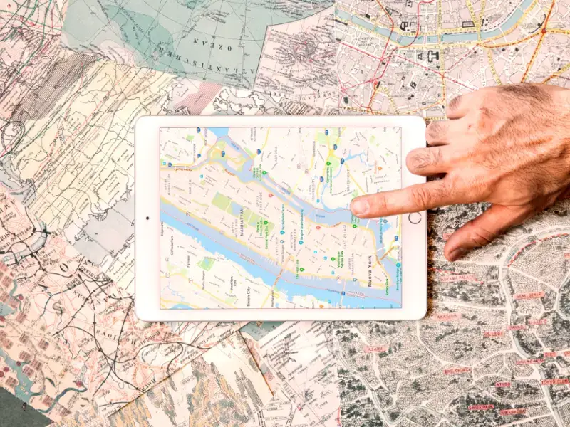
Our digitization services convert paper maps and raster images into editable vector formats for digital use. This conversion is
essential for modern land management and planning, enabling
easier data storage, integration with design software, and
streamlined access to geospatial information.

Related services

Maps Digitization and Raster-to-Vector Conversion
Our digitization services convert paper maps and raster images into...

Hiring of Survey Crews
We provide experienced and well-equipped survey crews for projects of...

Survey Consultancy and Engineering Check
Traverse’s survey consultancy and engineering check services offer clients expert...

Earthworks Volumes
Calculating earthworks volumes is essential for construction budgeting, as it...

Settlement Monitoring
Settlement monitoring involves tracking structural movement and foundation shifts over...

Precise and Differential Leveling
Establishing control stations and benchmarks provides reliable reference points essential...
If you have any questions let us know
Do you have any questions? Write and our specialists will answer you.